Obscured by Clouds


All images COPYRIGHT asserted - David Geddes at The Open Sky
Of course, using the title 'Obscured by Clouds' will immediately identify me by those of a certain age, as an unreformed Pink Floyd addict. Though other borrowed titles come to mind such as ' Evidence of things not seen' - the autobiography of WH Murray - the poetic author of classic Scottish Mountaineering texts, or 'Moments of Being' the autobiographical title of the mountaineering Raymond Greene - the brother of the more famous Grahame Greene. One has to think hard for good original titles.
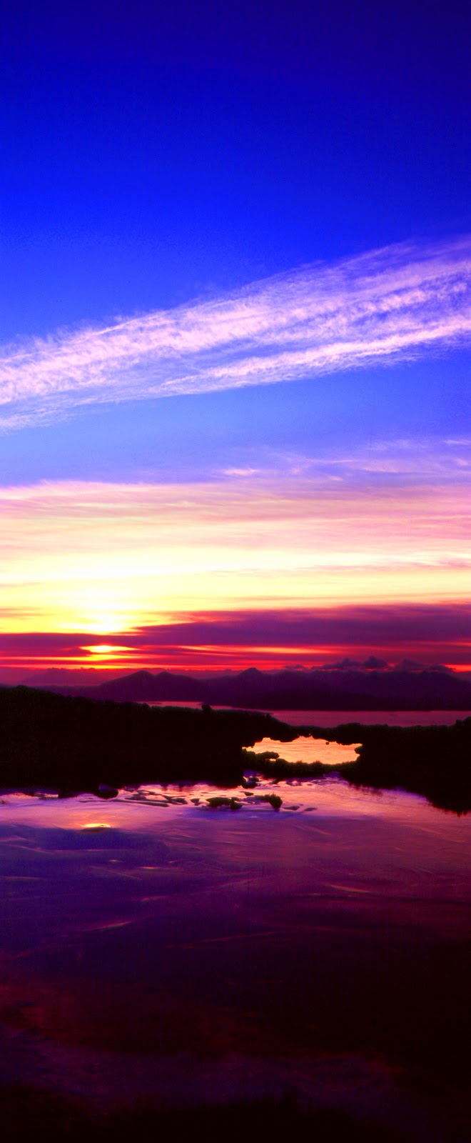
Clouds generally mean weather changes or misbehaviour. The last image in this series takes me back to an open bivvy on top of Aonach Mor (before the ski lifts etc) in November 1974. Its a self portrait set up by myself and taken by our best man George on my first serious camera, an Exakta RTL 1000 with the chunky add on viewfinder and exposure meter clipped in above the mirror. The valleys were lashed with rain all weekend, but we were above a temperature inversion which filled the valleys with cloud and gave us clear skies. The furthest away peak we identified was away to the south in Perthshire - Schiehallion - being translated from the anglicised phonetic gaelic as alternatively " the Fairy Hill of the Caledonians", or "The place of constant storm" or most likely " the Maiden's Pap" (breast). Scruffy anglicisations by the first map makers really annoy me - first we loose the original meaning - then we indulge in another bout of speculation to get back to what might have been that original meaning.
Back to clouds: Mountain photography in the proximity of clouds, means a number of things. Selecting the location for the view and getting into position, and if necessary being prepared to camp there. Knowing the exact daily position of sunset - which I can do using the 3D feature on the OS Memory Maps in my computer and placing the sun, and using the Photographer's Ephemeris similar software based on Google Maps which gives a 2D prediction time and direction of sun/moon, rise and set, for every day in the year. Patience is next, as the light comes and goes in fits and starts, scraps and morcels. Some of what is viewed above is seriously composed using medium format cameras on tripod with filters, and some is point and click with a sophisticated compact and stitched together in Photoshop. By the time it gets to Picasaweb or Google Blogger, one cannot tell the difference, as the compression used on these sites is so heavy. But if one was printing for large scale canvas images, typically up to a max of - 1m x 3m, - then the difference becomes obvious, but can be overcome with further use of 'Fractal' software which as I understand it makes a vector diagram out of the image before scaling it up to the magnified size.
The adventures enjoyed in gaining these images is as important for me as the images themselves. Then there is the learning about the geology, flora and fauna, land use and history. I don't remember ever having spare time!
No comments:
Post a Comment